
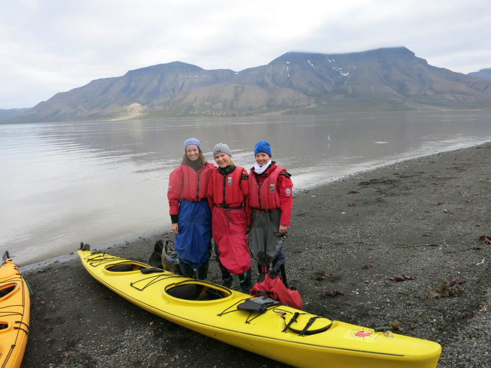
From Longyearbyen we had been enjoying the beautiful view of Hiortfjellet on the other side of the fjord. The third day it was time to climb the mountain, but first we had to cross the fjord by kayak. We started early in the morning, got our kayak equipment and safety instructions. I had zero experience with kayaking, but my friends did and we made it across the fjord.


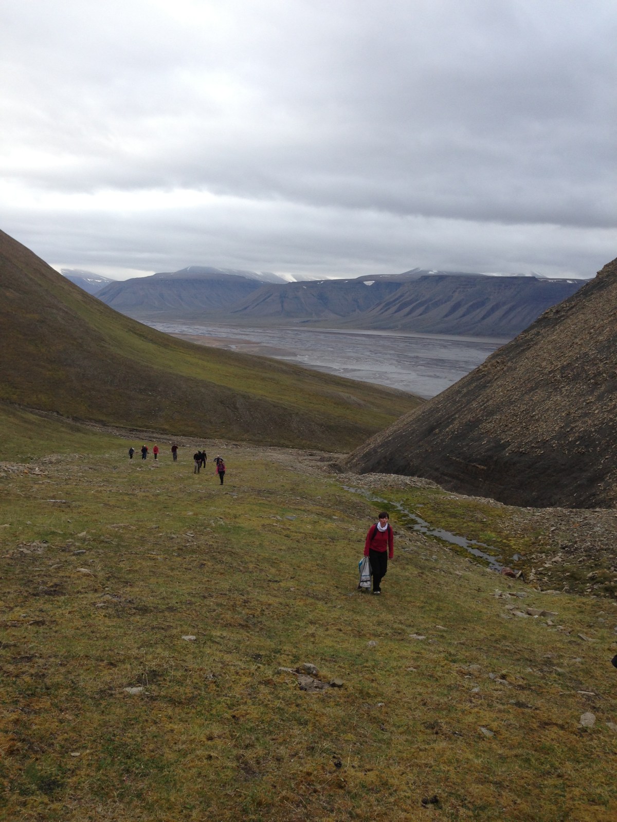
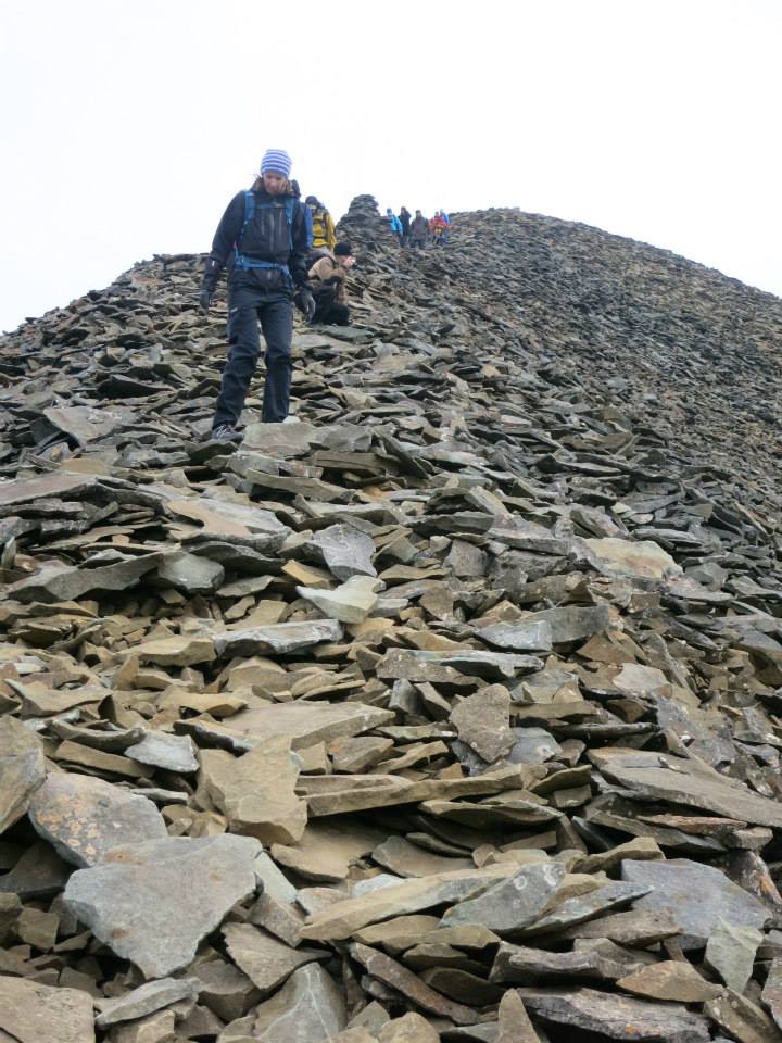
We arrived at the foot of the mountain, and got ready for hiking up to the top with our guides. Hiortfjellet is about 1000 meters above sea level, with untouched terrain and no red-painted guiding marks on the rocks.


Beautiful flowers on Svalbard, but you are not allowed to pick them.

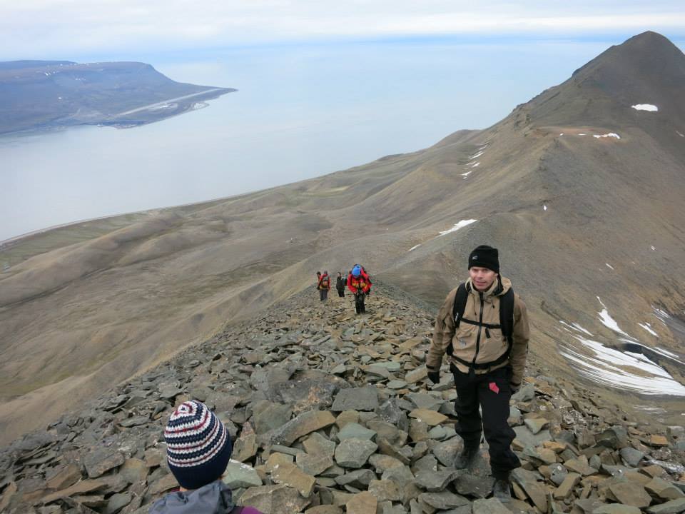

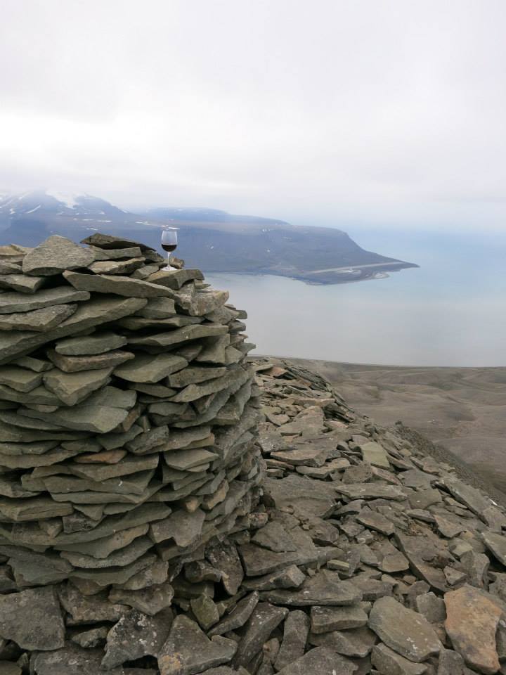
We conquered the mountain! The award on the top – the view was spectacular with miles of untouched arctic nature.
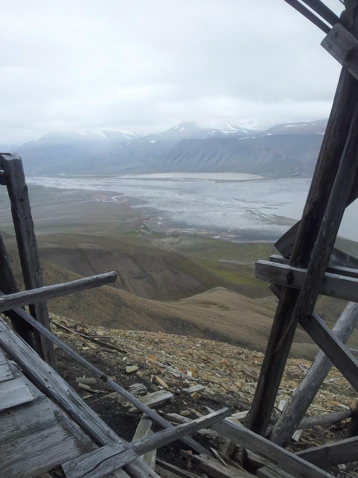


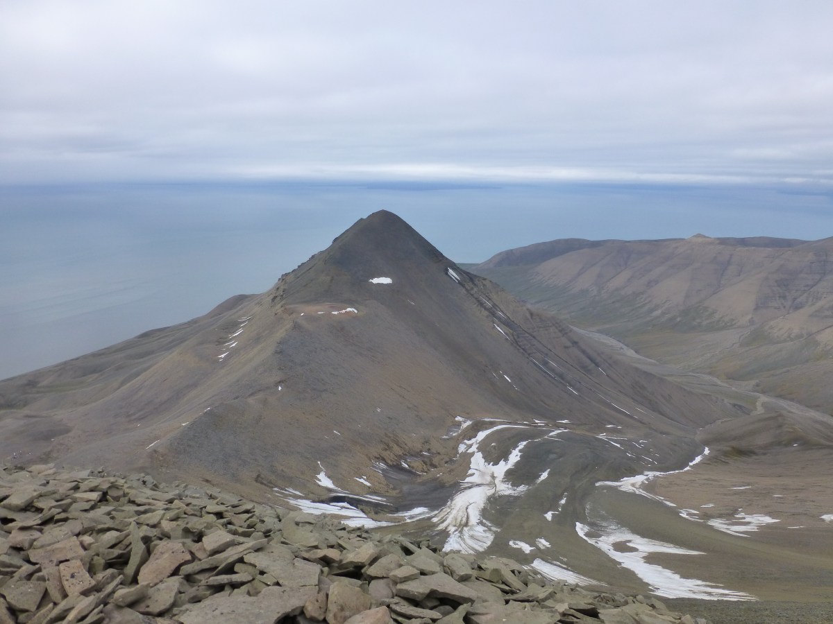
On our way down we made a stop at a mining plant from past times.
The most challenging part, was getting down from the old mining plant. It is often snow up here and you can slide down, but not this year. It was very steep for about 300 meters down, and difficult terrain with all the loose rocks.
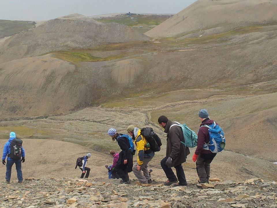
The trip lasted for about 10 hours, it was a tough hike, but the beautiful view at the top made it really worth it.

Hiortfjellet route map

Elevation profile
I loved Svalbard and I am definitely coming back. I think I will go for an easier hike next time, explore Pyramiden which is a Russian abandon settlement and check out more restaurants.
Thank you for reading!
